
Soil Vision: Soil Moisture Data at a European Scale
Water availability in soils is a major challenge for agriculture and the management of natural resources.
Soil Vision, available in early 2026, is a technology based on artificial intelligence and a combination of models that allows tracking and forecasting soil moisture evolution at large scale—without the need for physical sensors.
A first worldwide!
Its primary goal is clear: to turn on‑the‑ground knowledge and soil‑moisture data into concrete tools so that players in the agricultural world can meet the challenges of water management at the continental level.


Collaborative R&I: the Driving Force of Soil Vision
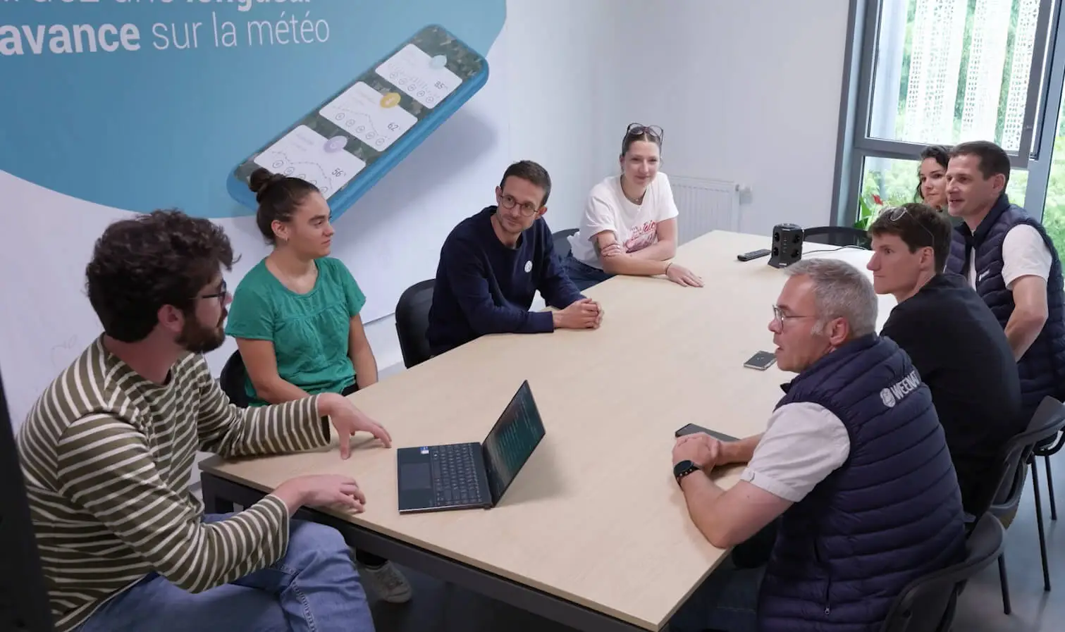
Development of Soil Vision relies on close collaboration between data scientists, agronomists and meteorologists.
These experts work together to build robust predictive models capable of adapting to the diversity of European agricultural contexts.
By combining thousands of historical and real‑time datasets from field observations, satellite imagery and data from Météo Vision, our AI algorithms estimate the soil’s water status.
At the same time, Weenat invests in data‑collection and analysis infrastructures, ensuring broad coverage and continuously updated information for professionals.

« Our research team is enthusiastic because everyone understands the water‑management stakes. Moreover, the first tests of our AI model have enabled irrigators to reduce their water consumption by an average of 20%. Imagine what that could represent at the European level. »
Emmanuel Buisson
Product and Innovation Director at Weenat
Soil Vision: the Perfect Blend of Sensors, Expertise and AI for High‑Quality Soil‑Water Data
Soil Vision relies on three complementary pillars: measurement, agronomy and artificial‑intelligence models.
💧Extensive and Diverse Field measurements
Over 20,000 sensors deployed across Europe collect continuous, precise soil‑moisture data.
This extensive network measures water content down to 60 cm depth, capturing hydric dynamics throughout the root zone.